19 is a nice small number that seems to belong to a more important highway. In its defense, Route 19 does cross into another state, and even intersects the Mass Pike (although without an interchange).

Updated Oct 31, 2020
 |
|
19 is a nice small number that seems to belong to a more important highway. In its defense, Route 19 does cross into another state, and even intersects the Mass Pike (although without an interchange).
In the 1920s, New England Interstate Route 32 (now state route 32) followed East Street and Wales Street – today's Route 19 – into Massachusetts.
In late 1931, when planning the 1932 route renumbering, the state still planned to mark today's Route 19 as part of Route 32. Monson Road would be Route 19. Since Routes 19 and 32 both cross the state line, both states likely agreed on swapping these to the layout we see today.
On Jan. 1, 1932, Route 32 was moved to its current location, and the former route became Connecticut and Massachusetts Route 19.
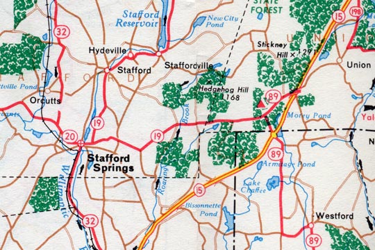 The 1961 Connecticut state highway map echoes the changes shown in the state's highway logs. For one year, Route 19 was apparently extended eastward along former Route 20 into Union.
In the 1950s, today's Route 190 in Stafford and Union was part of Route 20. Route 20 became Route 190 in July 1961, in concert with a number of changes at the opening of the Bradley Airport Connector.
In 1960, however, the state had truncated Route 20 at Stafford, and redesignated East Main Street and Buckley Highway as part of Route 19 (see map above). At the intersection with Route 89, Route 19 ended and Route 89 continued east, to end at Route 15 (now I-84), one exit beyond where those routes had already crossed.
This rerouting is bizarre. I saw the map first and thought, "OK, map error." Then when I saw the ConnDOT spreadsheet: "Possible clerical error, reflected in a map." The emergence in May 1960 of a paragraph in the Hartford Courant, meaning the Highway Department issued a press release, tips this case into the "intentional change" bucket. In any case, the decision was reversed in 1961.
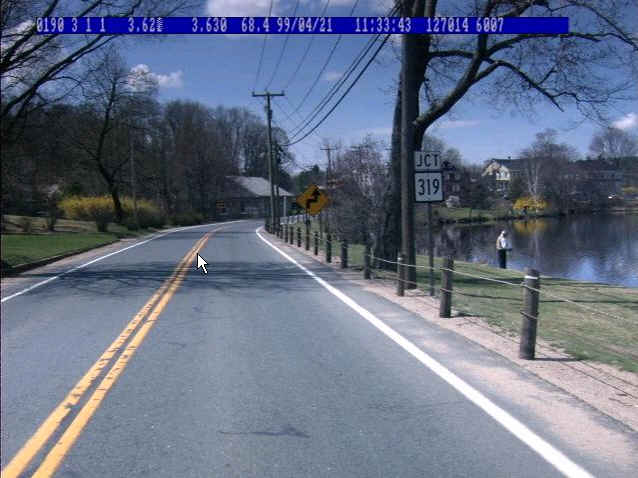
The Connecticut Department of Transportation maintains a digital photolog of its entire highway system: almost 4000 miles. Updated annually, the photolog includes forward- and side-facing views, including this scene on Route 19 approaching Route 319 in Stafford.
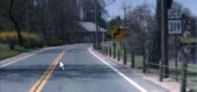 Above is a portion of the full-size image.