

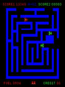
 Screenshot of 1981 arcade game "Route 16", courtesy of www.mame.net
One of three surviving covered bridges in Connecticut -- Comstock's Bridge -- stands along an old alignment of the road that later became Route 16. It's on the Salmon River at the East Hampton - Colchester town line, is open to the public (walkers only), and is easily accessible from Route 16.
It was built in 1840, and was part of Route 171, a segment now part of Route 16, until a steel bridge was built nearby in 1933. It was reported that in 1919 a truck loaded with beer broke through the bridge planks and fell into the river; and nearby residents salvaged the beer. (This was a year before Prohibition started.)
"Route 16" is the title of a 1981 arcade game (see screenshot). I have to say I can't see the resemblance.